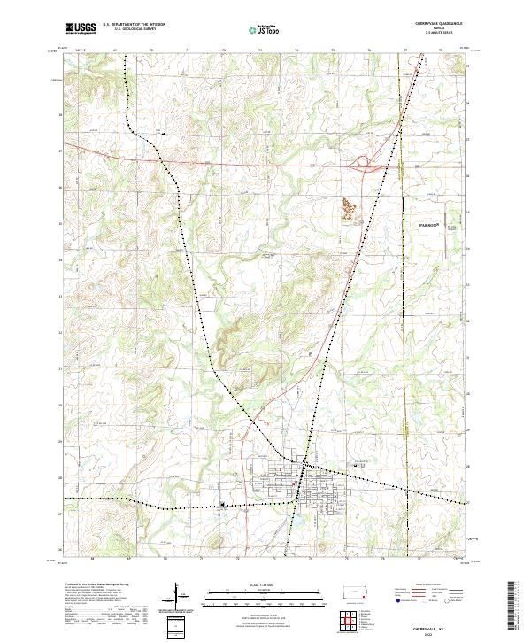
2022 Map of Cherryvale
USGS Topo · Published 2022About this map
Cherryvale serves as the primary hub of this eastern Montgomery County landscape, where the gridiron street pattern of the town center meets a network of rural roads. The town is marked by locally significant landmarks such as Fairview Cem on the eastern edge and the Saint Francis Xavier Cem further south. A dense network of local routes like Co RD 5000 and Independence Ave connects the residential core to the surrounding agricultural prairie.
Find a feature on this map
70 named features on this map. Tap any name to fly to it.
Don’t see what you’re looking for? This feature index may not catch every label — zoom into the map to look around manually.
Map Details
Editions of this 2022 Cherryvale Map
This is the sole edition of this map. No revisions or reprints were ever made.
Other maps of this area

1886 · Independence
USGS Topo · 1:125,000

1886 · Parsons
USGS Topo · 1:125,000

1893 · Parsons
USGS Topo · 1:125,000

1894 · Independence
USGS Topo · 1:125,000

1905 · Independence
USGS Topo · 1:125,000

1945 · Parsons
USGS Topo · 1:62,500

1946 · Parsons
USGS Topo · 1:62,500

1946 · Mound Valley
USGS Topo · 1:62,500

1947 · Parsons
USGS Topo · 1:62,500

1947 · Joplin
USGS Topo · 1:250,000