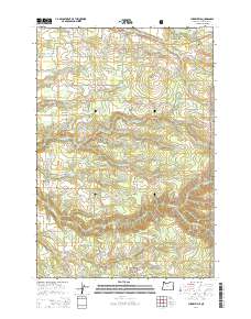
2014 Map of Cherryville
USGS Topo · Published 2014About this map
Cherryville and Bissell anchor this transition between the agricultural lands of Clackamas County and the rising slopes of the Mount Hood National Forest. The landscape is a network of small family-named water bodies and local infrastructure, including Coburns Pond, the Noble Acres Reservoir, and Fleshman Reservoirs. The settlement at George is marked by the presence of the George Cem, a key landmark for local genealogical research. In the south, the topography grows increasingly complex as it follows the descent of the Eagle Creek canyon system, featuring the Eagle Creek Upper Falls. This 2014 survey documents a modern rural-to-wilderness interface where timber roads like SE Wagoneer Loop and SE Music Camp Rd push into the foothills, following historic drainage patterns established by Cedar Cr and Firwood Cr.
Find a feature on this map
81 named features on this map. Tap any name to fly to it.
Don’t see what you’re looking for? This feature index may not catch every label — zoom into the map to look around manually.
Map Details
Editions of this 2014 Cherryville Map
This is the sole edition of this map. No revisions or reprints were ever made.
Other maps of this area

1911 · Boring
USGS Topo · 1:48,000

1914 · Boring
USGS Topo · 1:62,500

1916 · Estacada
USGS Topo · 1:125,000

1940 · Boring
USGS Topo · 1:62,500

1948 · Vancouver
USGS Topo · 1:250,000

1950 · Vancouver
USGS Topo · 1:250,000

1950 · Vancouver
USGS Topo · 1:250,000
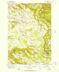
1954 · Sandy
USGS Topo · 1:24,000
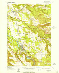
1954 · Estacada
USGS Topo · 1:24,000

1955 · Colton
USGS Topo · 1:62,500