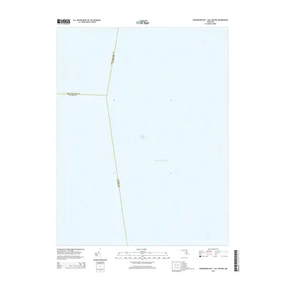
2014 Map of Chesapeake Bay 1 (All Water)
USGS Topo · Published 2014About this map
The Intracoastal Waterway cuts through the open waters of the Chesapeake Bay in this maritime survey, marking a vital transit corridor for mid-Atlantic shipping and recreation. Situated at the junction where three Maryland counties meet, the map highlights the aquatic boundaries shared between Anne Arundel, Calvert, and Talbot counties. While primarily an aquatic record, the sheet identifies Drum Point Pond as a distinct nautical landmark. The absence of terrestrial topography underscores the importance of these water-based borders and navigation routes in defining the region's geography, providing a clear view of the maritime jurisdictions that govern this central portion of the bay.
Find a feature on this map
5 named features on this map. Tap any name to fly to it.
Don’t see what you’re looking for? This feature index may not catch every label — zoom into the map to look around manually.
Map Details
Editions of this 2014 Chesapeake Bay 1 (All Water) Map
This is the sole edition of this map. No revisions or reprints were ever made.
Other maps of this area

1892 · Prince Frederick
USGS Topo · 1:62,500

1892 · Owensville
USGS Topo · 1:62,500

1892 · Annapolis
USGS Topo · 1:62,500

1893 · Sharps Island
USGS Topo · 1:62,500

1895 · Prince Frederick
USGS Topo · 1:62,500

1895 · Owensville
USGS Topo · 1:62,500

1898 · Choptank
USGS Topo · 1:125,000

1899 · Patuxent
USGS Topo · 1:125,000

1901 · Prince Frederick
USGS Topo · 1:62,500

1904 · Annapolis
USGS Topo · 1:62,500