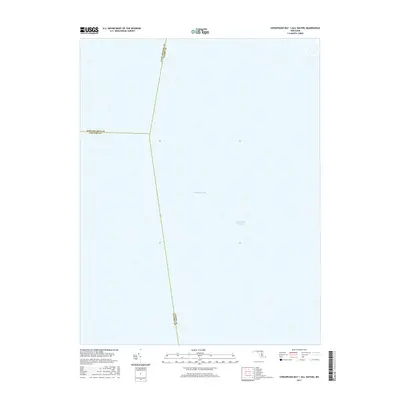
2017 Map of Chesapeake Bay 1 (All Water)
USGS Topo · Published 2017About this map
Chesapeake Bay dominates this mid-2010s aquatic survey, capturing the convergence of three Maryland counties beneath its surface. The map documents the precise aquatic boundaries where Anne Arundel Co, Calvert Co, and Talbot Co meet in the open water. A critical maritime artery, the Intracoastal Waterway, is traced through the bay, marking the designated channel used by vessel traffic navigating the Atlantic coast. This specific quadrangle serves as a detailed record of hydrographic data and jurisdictional lines in the heart of the bay, providing a reference for the navigable waters and county limits that are often invisible from the shoreline.
Find a feature on this map
5 named features on this map. Tap any name to fly to it.
Don’t see what you’re looking for? This feature index may not catch every label — zoom into the map to look around manually.
Map Details
Editions of this 2017 Chesapeake Bay 1 (All Water) Map
This is the sole edition of this map. No revisions or reprints were ever made.
Other maps of this area

1892 · Prince Frederick
USGS Topo · 1:62,500

1892 · Owensville
USGS Topo · 1:62,500

1892 · Annapolis
USGS Topo · 1:62,500

1893 · Sharps Island
USGS Topo · 1:62,500

1895 · Prince Frederick
USGS Topo · 1:62,500

1895 · Owensville
USGS Topo · 1:62,500

1898 · Choptank
USGS Topo · 1:125,000

1899 · Patuxent
USGS Topo · 1:125,000

1901 · Prince Frederick
USGS Topo · 1:62,500

1904 · Annapolis
USGS Topo · 1:62,500