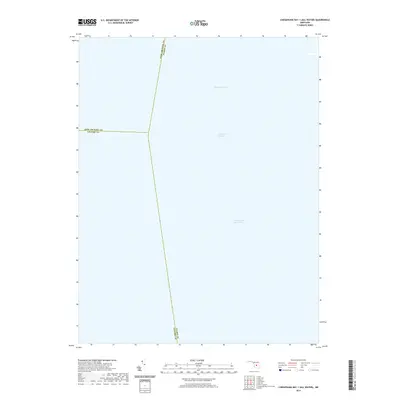
2019 Map of Chesapeake Bay 1 (All Water)
USGS Topo · Published 2019About this map
Chesapeake Bay dominates this maritime survey, illustrating the convergence of major county boundaries at sea. This chart documents the mid-bay intersection where Anne Arundel Co Talbot Co, Anne Arundel Co Calvert Co, and Calvert Co Talbot Co lines meet in open water. Unlike traditional topographic sheets, the focus here is strictly nautical, detailing the vital navigation corridors used by commercial and recreational vessels alike. The Chesapeake Channel and the Intracoastal Waterway are the primary features of this marine landscape, highlighting the infrastructure of the bay as a working transit route. The survey provides a clear view of the deep-water paths and administrative divisions that govern these central waters between the Eastern and Western Shores of Maryland.
Find a feature on this map
6 named features on this map. Tap any name to fly to it.
Don’t see what you’re looking for? This feature index may not catch every label — zoom into the map to look around manually.
Map Details
Editions of this 2019 Chesapeake Bay 1 (All Water) Map
This is the sole edition of this map. No revisions or reprints were ever made.
Other maps of this area

1892 · Prince Frederick
USGS Topo · 1:62,500

1892 · Owensville
USGS Topo · 1:62,500

1892 · Annapolis
USGS Topo · 1:62,500

1893 · Sharps Island
USGS Topo · 1:62,500

1895 · Prince Frederick
USGS Topo · 1:62,500

1895 · Owensville
USGS Topo · 1:62,500

1898 · Choptank
USGS Topo · 1:125,000

1899 · Patuxent
USGS Topo · 1:125,000

1901 · Prince Frederick
USGS Topo · 1:62,500

1904 · Annapolis
USGS Topo · 1:62,500