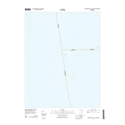
2014 Map of Chesapeake Bay 2 (All Water)
USGS Topo · Published 2014About this map
The Intracoastal Waterway cuts through the open waters of the Chesapeake Bay in this 2014 survey. This specific nautical quadrangle serves as a maritime intersection where the aquatic boundaries of three Maryland counties meet. The convergence of Talbot Co, Calvert Co, and Dorchester Co occurs entirely within the bay, illustrating the complex underwater geography used for jurisdictional and administrative purposes. Lacking terrestrial features, the map focuses exclusively on the navigational path of the Intracoastal Waterway, providing a clear record of the transit corridor and county lines as they were defined in the early 21st century.
Find a feature on this map
4 named features on this map. Tap any name to fly to it.
Don’t see what you’re looking for? This feature index may not catch every label — zoom into the map to look around manually.
Map Details
Editions of this 2014 Chesapeake Bay 2 (All Water) Map
This is the sole edition of this map. No revisions or reprints were ever made.
Other maps of this area

1892 · Leonardtown
USGS Topo · 1:62,500

1892 · Drum Point
USGS Topo · 1:62,500

1892 · Prince Frederick
USGS Topo · 1:62,500

1893 · Sharps Island
USGS Topo · 1:62,500

1895 · Prince Frederick
USGS Topo · 1:62,500

1895 · Leonardtown
USGS Topo · 1:62,500

1895 · Nomini
USGS Topo · 1:125,000

1898 · Choptank
USGS Topo · 1:125,000

1898 · Nomini
USGS Topo · 1:125,000

1898 · St. Marys
USGS Topo · 1:125,000