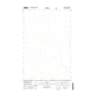
2014 Map of Chesaw OE N
USGS Topo · Published 2014About this map
The international border between Canada / United States of America defines the northern extent of this 2014 survey. This cross-border corridor in Okanogan Co, Washington, depicts the remote headwaters and drainage patterns that span the boundary between British Columbia and the United States. While the map is sparse of named settlements, it provides a precise look at the hydrological network and road classification system used by the U.S. Forest Service to manage these high-latitude woodlands. The lack of named interior landmarks emphasizes the transitional nature of this borderland area, where management and topography are the primary features of record.
Find a feature on this map
3 named features on this map. Tap any name to fly to it.
Don’t see what you’re looking for? This feature index may not catch every label — zoom into the map to look around manually.
Map Details
Editions of this 2014 Chesaw OE N Map
This is the sole edition of this map. No revisions or reprints were ever made.
Other maps of this area

1902 · Osoyoos
USGS Topo · 1:125,000

1904 · Osoyoos
USGS Topo · 1:125,000

1904 · Republic
USGS Topo · 1:125,000

1951 · Bodie Mountain
USGS Topo · 1:62,500

1954 · Okanogan
USGS Topo · 1:250,000

1957 · Mt. Bonaparte
USGS Topo · 1:62,500

1958 · Okanogan
USGS Topo · 1:250,000

1958 · Bodie Mtn
USGS Topo · 1:62,500

1984 · Oroville
USGS Topo · 1:100,000

1984 · Republic
USGS Topo · 1:100,000