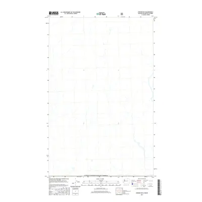
2017 Map of Chesaw OE N
USGS Topo · Published 2017About this map
The international boundary at Canada/United States of America defines the landscape of this 2017 survey along the Washington and British Columbia border. Situated north of the Chesaw area, the map focuses on the drainage patterns and topography of the Okanagan Highland as it transitions into the Regional District of Kootenay Boundary. The terrain is characterized by numerous small drainage basins and unnamed seasonal watercourses that flow across the border, illustrating the continuity of the physical landscape despite the political divide. As a 21st-century digital product, it utilizes imagery from the National Agriculture Imagery Program to document the contemporary vegetation cover and land use patterns in this high-latitude region.
Find a feature on this map
1 named feature on this map. Tap any name to fly to it.
Don’t see what you’re looking for? This feature index may not catch every label — zoom into the map to look around manually.
Map Details
Editions of this 2017 Chesaw OE N Map
This is the sole edition of this map. No revisions or reprints were ever made.
Other maps of this area

1902 · Osoyoos
USGS Topo · 1:125,000

1904 · Osoyoos
USGS Topo · 1:125,000

1904 · Republic
USGS Topo · 1:125,000

1951 · Bodie Mountain
USGS Topo · 1:62,500

1954 · Okanogan
USGS Topo · 1:250,000

1957 · Mt. Bonaparte
USGS Topo · 1:62,500

1958 · Okanogan
USGS Topo · 1:250,000

1958 · Bodie Mtn
USGS Topo · 1:62,500

1984 · Oroville
USGS Topo · 1:100,000

1984 · Republic
USGS Topo · 1:100,000