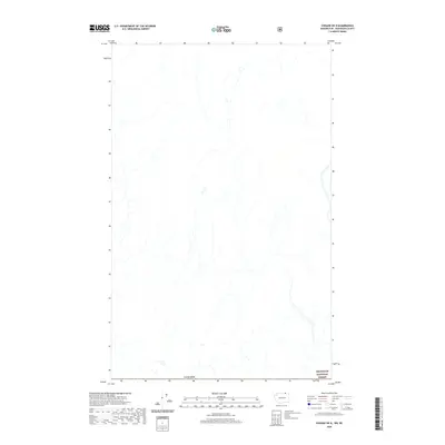
2020 Map of Chesaw OE N
USGS Topo · Published 2020About this map
Canada marks the northern border of this terrain, where the northernmost reaches of the Okanogan National Forest extend into the highlands of Okanogan County. This 2020 survey documents a landscape of high-elevation drainages and forest boundaries along the international line. The map is primarily characterized by the network of seasonal streams and tributaries that define the watershed in this sparsely settled region. While the interior is defined by the protected lands of the national forest, the northern margin interfaces directly with the international boundary, reflecting the remote nature of the Okanogan backcountry as it transitions across the border into British Columbia.
Find a feature on this map
2 named features on this map. Tap any name to fly to it.
Don’t see what you’re looking for? This feature index may not catch every label — zoom into the map to look around manually.
Map Details
Editions of this 2020 Chesaw OE N Map
This is the sole edition of this map. No revisions or reprints were ever made.
Other maps of this area

1902 · Osoyoos
USGS Topo · 1:125,000

1904 · Osoyoos
USGS Topo · 1:125,000

1904 · Republic
USGS Topo · 1:125,000

1951 · Bodie Mountain
USGS Topo · 1:62,500

1954 · Okanogan
USGS Topo · 1:250,000

1957 · Mt. Bonaparte
USGS Topo · 1:62,500

1958 · Okanogan
USGS Topo · 1:250,000

1958 · Bodie Mtn
USGS Topo · 1:62,500

1984 · Oroville
USGS Topo · 1:100,000

1984 · Republic
USGS Topo · 1:100,000