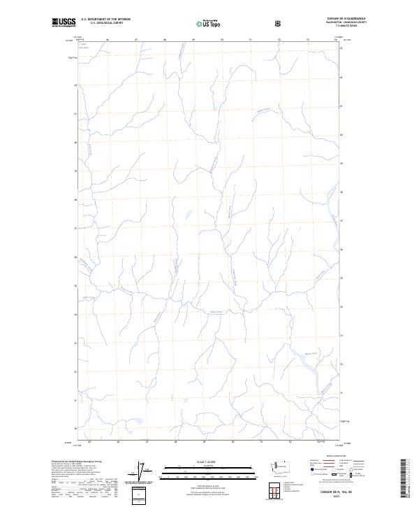
2023 Map of Chesaw OE N
USGS Topo · Published 2023About this map
Kettle River defines the eastern edge of this landscape in Okanogan County, where the topography is shaped by a dense network of mountain streams. This 2023 survey illustrates the drainage patterns north of Chesaw, characterized by the convergence of Rock Creek and its tributaries including McKinney Creek and Baker Creek. The presence of small alpine water bodies like Little Fish Lake and Myers Lake suggests a high-elevation terrain where seasonal runoff feeds larger systems like Johnstone Creek. The map provides a clear look at the undeveloped character of this border region, tracing the winding paths of named waterways such as Hulme Creek and Rusch Creek through the northern Okanogan highlands.
Find a feature on this map
12 named features on this map. Tap any name to fly to it.
Don’t see what you’re looking for? This feature index may not catch every label — zoom into the map to look around manually.
Map Details
Editions of this 2023 Chesaw OE N Map
This is the sole edition of this map. No revisions or reprints were ever made.
Other maps of this area

1902 · Osoyoos
USGS Topo · 1:125,000

1904 · Osoyoos
USGS Topo · 1:125,000

1904 · Republic
USGS Topo · 1:125,000

1951 · Bodie Mountain
USGS Topo · 1:62,500

1954 · Okanogan
USGS Topo · 1:250,000

1957 · Mt. Bonaparte
USGS Topo · 1:62,500

1958 · Okanogan
USGS Topo · 1:250,000

1958 · Bodie Mtn
USGS Topo · 1:62,500

1984 · Oroville
USGS Topo · 1:100,000

1984 · Republic
USGS Topo · 1:100,000