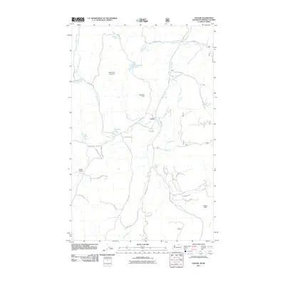
2011 Map of Chesaw
USGS Topo · Published 2011About this map
Chesaw sits at the heart of this Okanogan County landscape, where the confluence of several mountain drainages defines the local geography. The settlement is positioned near the junction of Myers Creek and Mary Ann Creek, serving as a focal point for a network of rural routes including Chesaw RD and Byers RD. To the north, the terrain rises toward Strawberry Mountain and the mining-associated landmark of Porphyry Peak, while the smaller community of Bolster is situated further east along Bolster RD.
Find a feature on this map
43 named features on this map. Tap any name to fly to it.
Don’t see what you’re looking for? This feature index may not catch every label — zoom into the map to look around manually.
Map Details
Editions of this 2011 Chesaw Map
This is the sole edition of this map. No revisions or reprints were ever made.
Other maps of this area

1902 · Osoyoos
USGS Topo · 1:125,000

1904 · Osoyoos
USGS Topo · 1:125,000

1904 · Republic
USGS Topo · 1:125,000

1951 · Bodie Mountain
USGS Topo · 1:62,500

1954 · Okanogan
USGS Topo · 1:250,000

1957 · Mt. Bonaparte
USGS Topo · 1:62,500

1958 · Okanogan
USGS Topo · 1:250,000

1958 · Bodie Mtn
USGS Topo · 1:62,500

1984 · Oroville
USGS Topo · 1:100,000

1984 · Republic
USGS Topo · 1:100,000