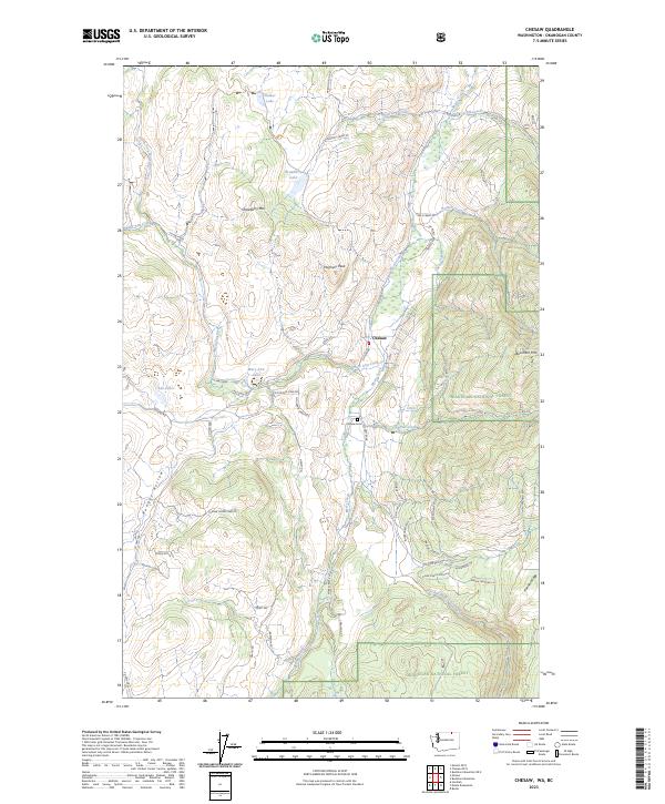
2023 Map of Chesaw
USGS Topo · Published 2023About this map
Chesaw serves as the central hub of this northern Okanogan County landscape, where the confluence of Mary Ann Creek and Myers Creek once supported a bustling mining and ranching economy. The settlement is anchored by the Chesaw Cem, a vital site for family historians, and is surrounded by high-elevation terrain including Strawberry Mtn and Porphyry Peak. The transition from private ranch lands to the Okanogan National Forest is evident in the eastern and southern portions of the map, where the terrain climbs toward Buckhorn Mtn. Numerous family and historic landmarks are preserved in the road names, such as Turner Homestead Rd, Pratt Rd, and Dunn Rd. This network of local routes, including Stage Coach Loop Rd and Trapline Loop Rd, traces the movement of early residents through the drainage basins of Ethel Creek and Lime Creek.
Find a feature on this map
58 named features on this map. Tap any name to fly to it.
Don’t see what you’re looking for? This feature index may not catch every label — zoom into the map to look around manually.
Map Details
Editions of this 2023 Chesaw Map
This is the sole edition of this map. No revisions or reprints were ever made.
Other maps of this area

1902 · Osoyoos
USGS Topo · 1:125,000

1904 · Osoyoos
USGS Topo · 1:125,000

1904 · Republic
USGS Topo · 1:125,000

1951 · Bodie Mountain
USGS Topo · 1:62,500

1954 · Okanogan
USGS Topo · 1:250,000

1957 · Mt. Bonaparte
USGS Topo · 1:62,500

1958 · Okanogan
USGS Topo · 1:250,000

1958 · Bodie Mtn
USGS Topo · 1:62,500

1984 · Oroville
USGS Topo · 1:100,000

1984 · Republic
USGS Topo · 1:100,000