Loading...
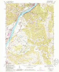
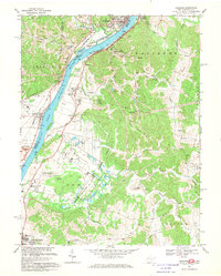
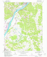
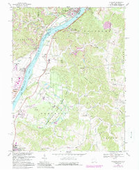
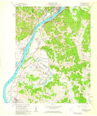
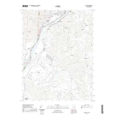
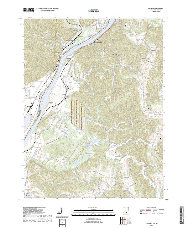
Loading map...1968 Map of Cheshire
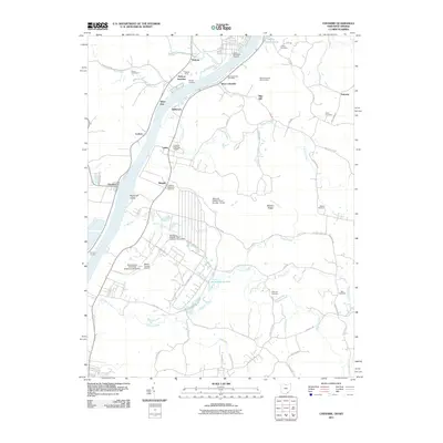
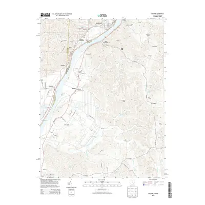
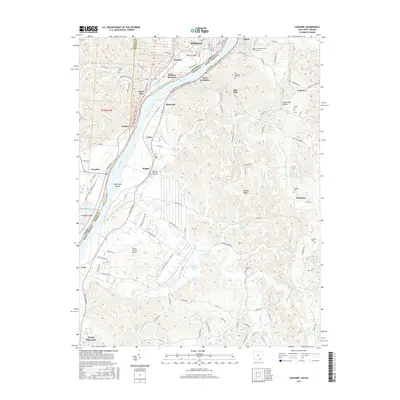
USGS Topo · Published 1986About this map
Ohio River barge traffic and heavy industry define this riverfront landscape during the late 1960s. The riverbank is densely marked with infrastructure, from the Penn Central and Baltimore and Ohio railroads to the sewage disposal ponds and various tipples serving the local coal economy. The map reveals a transition from the industrial river corridor to the interior hills, where extensive strip mining activity is visible near Middleport and West Columbia.
Find a feature on this map
77 named features on this map. Tap any name to fly to it.
Don’t see what you’re looking for? This feature index may not catch every label — zoom into the map to look around manually.
Map Details
Date Portrayed1968
Date Published1986
PublisherU.S. Geological Survey
Map TypeTopographic
Scale1:24,000
Physical Dimensions22 x 26.8 inches
Editions of this 1968 Cheshire Map
4 editions found
Historical Maps of Point Pleasant Through Time
7 maps found
Featured Locations
Source Details
SourceU.S. Geological Survey
CopyrightPublic Domain