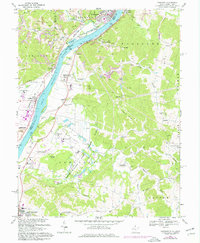
1968 Map of Cheshire
USGS Topo · Published 1976About this map
The Ohio River dominates this landscape, serving as the industrial and transport spine for both Ohio and West Virginia. On the West Virginia bank, a concentrated infrastructure of river-and-rail industry is visible near West Columbia and the Lakin State Hospital. The presence of multiple Strip Mine operations and gravel pits across the ridges of Waggener and Cheshire townships highlights the region's mid-century reliance on resource extraction.
Find a feature on this map
62 named features on this map. Tap any name to fly to it.
Don’t see what you’re looking for? This feature index may not catch every label — zoom into the map to look around manually.
Map Details
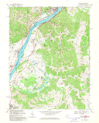
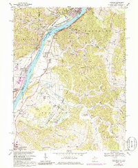
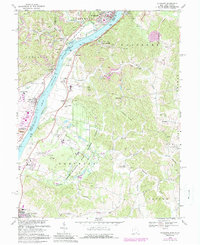
Editions of this 1968 Cheshire Map
4 editions found
Other maps of this area

1907 · Pomeroy
USGS Topo · 1:62,500

1907 · Keno
USGS Topo · 1:62,500

1908 · Ravenswood
USGS Topo · 1:62,500

1908 · Point Pleasant
USGS Topo · 1:62,500

1926 · Ravenswood
USGS Topo · 1:62,500

1926 · Point Pleasant
USGS Topo · 1:62,500

1928 · Ravenswood
USGS Topo · 1:62,500

1929 · Point Pleasant
USGS Topo · 1:62,500

1947 · Columbus
USGS Topo · 1:250,000

1949 · Clarksburg
USGS Topo · 1:250,000