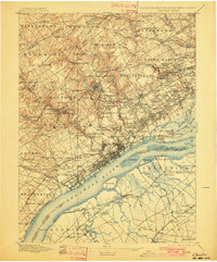
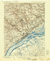
1898 Map of Chester
USGS Topo · Published 1901About this map
The Delaware River serves as the industrial and transit artery for this late 19th-century landscape, anchoring the bustling docks of Marcus Hook and Eddystone. Inland, the terrain of Delaware County is defined by a dense network of water-powered industry and early suburban development, where Llewellyn Mills and Sycamore Mills sit along winding tributaries like Chester Creek and Ridley Creek. The map captures a moment when established village centers like Newtown Square and Broomall were connected to Philadelphia by an expanding web of railroads, including the Baltimore & Ohio R. R. and the Phila. & Delaware Co. R. R.. Institutional landmarks such as the Williamson School and the House of Refuge appear as significant rural fixtures, while the New Jersey side shows the low-lying marshlands and drainage ditches of Greenwich and Oldmans before heavy industrialization reshaped the river's eastern bank.
Find a feature on this map
176 named features on this map. Tap any name to fly to it.
Don’t see what you’re looking for? This feature index may not catch every label — zoom into the map to look around manually.
Map Details
Editions of this 1898 Chester Map
10 editions found

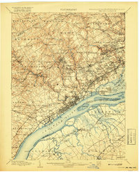
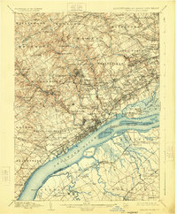
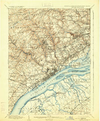
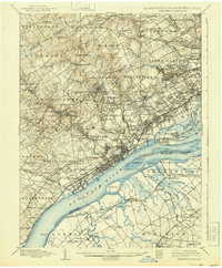
Other maps of this area

1890 · Salem
USGS Topo · 1:62,500

1890 · Glassboro
USGS Topo · 1:62,500

1891 · Philadelphia
USGS Topo · 1:62,500

1893 · Germantown
USGS Topo · 1:62,500

1894 · Chester
USGS Topo · 1:62,500

1894 · Philadelphia
USGS Topo · 1:62,500

1894 · Norristown
USGS Topo · 1:62,500

1894 · Germantown
USGS Topo · 1:62,500

1895 · Norristown
USGS Topo · 1:62,500

1896 · Germantown
USGS Topo · 1:62,500