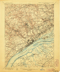
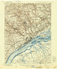
1898 Map of Chester
USGS Topo · Published 1906About this map
Marcus Hook and the city of Chester anchor a landscape transitioning from the industrializing Delaware River waterfront to the established townships of southeastern Pennsylvania. In the late 1890s, the region is defined by a dense network of watercourses like Ridley Creek and Crum Creek powering local industry, alongside a burgeoning rail system including the Baltimore & Ohio RR and the Phila. & West Chester Electric RR.
Find a feature on this map
195 named features on this map. Tap any name to fly to it.
Don’t see what you’re looking for? This feature index may not catch every label — zoom into the map to look around manually.
Map Details
Editions of this 1898 Chester Map
10 editions found

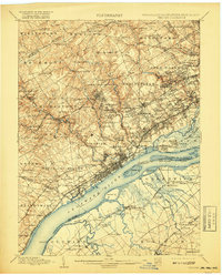
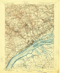
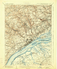
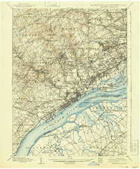
Other maps of this area

1890 · Salem
USGS Topo · 1:62,500

1890 · Glassboro
USGS Topo · 1:62,500

1891 · Philadelphia
USGS Topo · 1:62,500

1893 · Germantown
USGS Topo · 1:62,500

1894 · Chester
USGS Topo · 1:62,500

1894 · Philadelphia
USGS Topo · 1:62,500

1894 · Norristown
USGS Topo · 1:62,500

1894 · Germantown
USGS Topo · 1:62,500

1895 · Norristown
USGS Topo · 1:62,500

1896 · Germantown
USGS Topo · 1:62,500