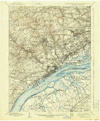
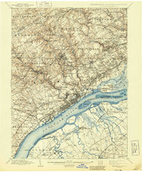
1898 Map of Chester
USGS Topo · Published 1939About this map
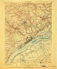
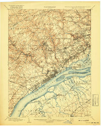
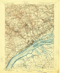
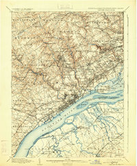
Industrial mills and intricate rail networks define the landscape of Delaware County in the late 19th century. Along the banks of Crum Creek and the Delaware River, numerous mill settlements such as Lenni Mills, Ivy Mills, and Sycamore Mills prospered, fueled by the waterpower and transport access of the region. The map reveals a dense corridor of development from Chester through Eddystone and Ridley, where the Phila Wilmington & Baltimore RR and the Baltimore & Ohio RR competed for dominance.
Find a feature on this map
195 named features on this map. Tap any name to fly to it.
Don’t see what you’re looking for? This feature index may not catch every label — zoom into the map to look around manually.
Map Details
Editions of this 1898 Chester Map
10 editions found

Other maps of this area

1890 · Salem
USGS Topo · 1:62,500

1890 · Glassboro
USGS Topo · 1:62,500

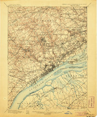
1891 · Philadelphia
USGS Topo · 1:62,500

1893 · Germantown
USGS Topo · 1:62,500

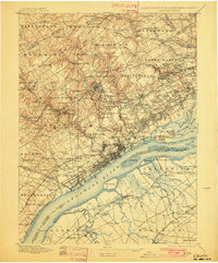
1894 · Chester
USGS Topo · 1:62,500

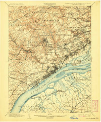
1894 · Philadelphia
USGS Topo · 1:62,500

1894 · Norristown
USGS Topo · 1:62,500

1894 · Germantown
USGS Topo · 1:62,500

1895 · Norristown
USGS Topo · 1:62,500

1896 · Germantown
USGS Topo · 1:62,500