Loading...
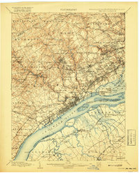
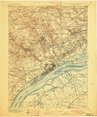
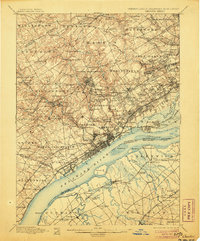
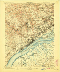
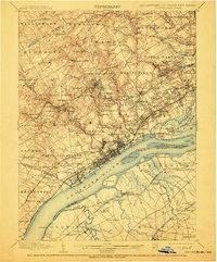
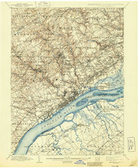
Loading map...1898 Map of Chester
USGS Topo · Published 1917About this map
Glen Mills, Lenni Mills, and Sycamore Mills define the industrial character of the Pennsylvania backcountry at the close of the nineteenth century. This landscape is a dense network of water-powered industry and early rail lines, where Ridley Creek and Crum Creek descend toward the industrial waterfront at Eddystone. The survey reveals a region in transition, documenting established waypoints like Newtown Square alongside newer educational and social institutions such as the Williamson School and the House of Refuge.
Find a feature on this map
174 named features on this map. Tap any name to fly to it.
Don’t see what you’re looking for? This feature index may not catch every label — zoom into the map to look around manually.
Map Details
Date Portrayed1898
Date Published1917
PublisherU.S. Geological Survey
Map TypeTopographic
Scale1:62,500
Physical Dimensions16.5 x 20.5 inches
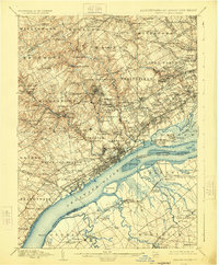
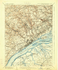
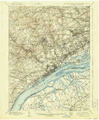
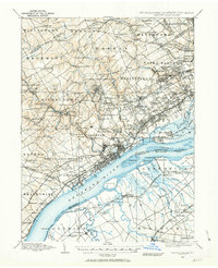
Editions of this 1898 Chester Map
10 editions found

Historical Maps of Philadelphia Through Time
3 maps found

Featured Locations
Source Details
SourceU.S. Geological Survey
CopyrightPublic Domain