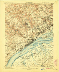
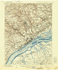
1898 Map of Chester
USGS Topo · Published 1908About this map
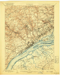
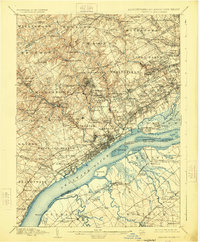
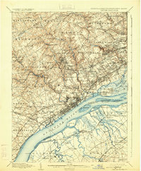
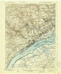
The industrial and maritime activity of the Delaware River corridor dominates this late nineteenth-century landscape, where heavy rail lines like the Baltimore and Ohio R.R. and Penna. R.R. converge on the bustling waterfronts of Chester and Marcus Hook. Inland, the terrain of Delaware Co. is defined by a dense network of milling settlements along the winding Ridley Creek and Crum Creek, including Sycamore Mills, Lenni Mills, and Llewellyn Mills. The presence of institutions such as the House of Refuge and Williamson School speaks to the social geography of the era, while the eastern edge of the map shows the suburban growth of Upper Darby and Haverford nearing the Philadelphia line. South of the river in New Jersey, the landscape shifts to the marshy lowlands of Woolwich, crisscrossed by Raccoon Creek and Repaupo Cr.
Find a feature on this map
199 named features on this map. Tap any name to fly to it.
Don’t see what you’re looking for? This feature index may not catch every label — zoom into the map to look around manually.
Map Details
Editions of this 1898 Chester Map
10 editions found

Other maps of this area

1890 · Salem
USGS Topo · 1:62,500

1890 · Glassboro
USGS Topo · 1:62,500

1891 · Philadelphia
USGS Topo · 1:62,500

1893 · Germantown
USGS Topo · 1:62,500

1894 · Chester
USGS Topo · 1:62,500

1894 · Philadelphia
USGS Topo · 1:62,500

1894 · Norristown
USGS Topo · 1:62,500

1894 · Germantown
USGS Topo · 1:62,500

1895 · Norristown
USGS Topo · 1:62,500

1896 · Germantown
USGS Topo · 1:62,500