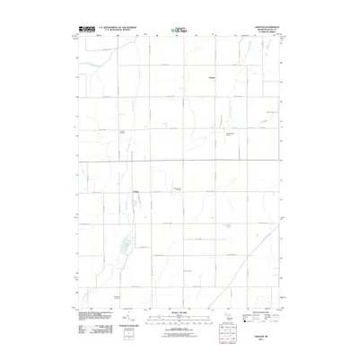
2011 Map of Chester
USGS Topo · Published 2011About this map
Agricultural Eaton County is defined by a grid of rural highways and the winding paths of the Thornapple River and its tributaries in this 2011 survey. The landscape is punctuated by small, historic settlements like Chester and Carlisle, which serve as the primary social nodes for the surrounding farming community. A strong genealogical record is preserved through the presence of well-established burial grounds, including Cogsdill Cemetery, West Carmel Cemetery, and Spaulding Cemetery, which reflect the long-standing family ties to this central Michigan township.
Find a feature on this map
44 named features on this map. Tap any name to fly to it.
Don’t see what you’re looking for? This feature index may not catch every label — zoom into the map to look around manually.
Map Details
Editions of this 2011 Chester Map
This is the sole edition of this map. No revisions or reprints were ever made.
Other maps of this area

1918 · Battle Creek
USGS Topo · 1:62,500

1921 · Marshall
USGS Topo · 1:62,500

1923 · Marshall
USGS Topo · 1:62,500

1943 · Battle Creek
USGS Topo · 1:62,500

1943 · Marshall
USGS Topo · 1:62,500

1947 · Bellevue
USGS Topo · 1:24,000

1949 · Charlotte
USGS Topo · 1:62,500

1950 · Battle Creek
USGS Topo · 1:62,500

1950 · Nashville
USGS Topo · 1:62,500

1951 · Nashville
USGS Topo · 1:62,500