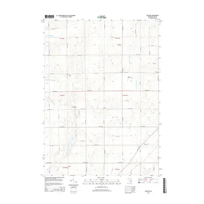
2014 Map of Chester
USGS Topo · Published 2014About this map
The Thornapple River and its various tributaries define the rural landscape of central Eaton County in the early twenty-first century. This agrarian region is anchored by the small settlements of Chester and Carlisle, which sit amidst a grid of section-line roads such as W Kinsel Hwy and Carlisle Hwy. The map reveals a complex drainage network, including the Little Thornapple River, Lacey Cr, and several engineered waterways like the Nye and Eaton Drainage and Gauton and Powers Extension Drain, indicating the historical importance of water management for local agriculture. For genealogists, the map is a primary source for identifying burial grounds including Cogsdil Cem, W Carmel Cem, Spaulding Cem, and Millerburg Cem. Aviation history is represented by the Wend Valley Airport situated near the center of the township, while the presence of Lacey Lake provides a natural landmark in the southern section.
Find a feature on this map
57 named features on this map. Tap any name to fly to it.
Don’t see what you’re looking for? This feature index may not catch every label — zoom into the map to look around manually.
Map Details
Editions of this 2014 Chester Map
This is the sole edition of this map. No revisions or reprints were ever made.
Other maps of this area

1918 · Battle Creek
USGS Topo · 1:62,500

1921 · Marshall
USGS Topo · 1:62,500

1923 · Marshall
USGS Topo · 1:62,500

1943 · Battle Creek
USGS Topo · 1:62,500

1943 · Marshall
USGS Topo · 1:62,500

1947 · Bellevue
USGS Topo · 1:24,000

1949 · Charlotte
USGS Topo · 1:62,500

1950 · Battle Creek
USGS Topo · 1:62,500

1950 · Nashville
USGS Topo · 1:62,500

1951 · Nashville
USGS Topo · 1:62,500