
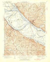
1947 Map of Chester
USGS Topo · Published 1947About this map
Kaskaskia Island dominates this stretch of the Mississippi River, showcasing a complex border geography between Illinois and Missouri. The map records the site of Old Kaskaskia, the former Illinois capital that was largely destroyed and isolated by river shifts in the late 19th century. On the Illinois side, the city of Chester sits on the bluffs, marked by the presence of a massive Penitentiary overlooking the water.
Find a feature on this map
74 named features on this map. Tap any name to fly to it.
Don’t see what you’re looking for? This feature index may not catch every label — zoom into the map to look around manually.
Map Details
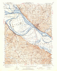
Editions of this 1947 Chester Map
3 editions found
Other maps of this area

1907 · Weingarten
USGS Topo · 1:62,500

1909 · Weingarten
USGS Topo · 1:62,500

1910 · Higdon
USGS Topo · 1:62,500

1912 · Baldwin
USGS Topo · 1:62,500

1914 · Baldwin
USGS Topo · 1:62,500

1914 · Coulterville
USGS Topo · 1:62,500

1915 · Renault
USGS Topo · 1:62,500

1915 · Chester
USGS Topo · 1:62,500

1916 · Campbell Hill
USGS Topo · 1:62,500

1917 · Coulterville
USGS Topo · 1:62,500