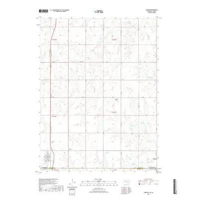
2017 Map of Chester
USGS Topo · Published 2017About this map
The borderlands of Nebraska and Kansas define this landscape, where the southern edge of Thayer County meets Republic County. The village of Chester serves as a primary hub, organized around a grid that includes Hebron St and Huron St. Further east, the smaller settlement of Hubbell sits near the state line, marked by its own Hubbell Cem. The area is characterized by a managed water system consisting of numerous small impoundments such as Schlife Reservoir and Laverentz Reservoir, which support the agricultural operations spread across the undulating plains.
Find a feature on this map
40 named features on this map. Tap any name to fly to it.
Don’t see what you’re looking for? This feature index may not catch every label — zoom into the map to look around manually.
Map Details
Editions of this 2017 Chester Map
This is the sole edition of this map. No revisions or reprints were ever made.
Other maps of this area

1892 · Concordia
USGS Topo · 1:125,000

1893 · Washington
USGS Topo · 1:125,000

1898 · Hebron
USGS Topo · 1:125,000

1955 · Manhattan
USGS Topo · 1:250,000

1955 · Lincoln
USGS Topo · 1:250,000

1956 · Manhattan
USGS Topo · 1:250,000

1957 · Manhattan
USGS Topo · 1:250,000

1957 · Lincoln
USGS Topo · 1:250,000

1958 · Lincoln
USGS Topo · 1:250,000

1960 · Chester
USGS Topo · 1:24,000