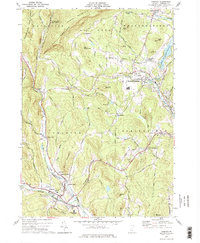
1972 Map of Chester
USGS Topo · Published 1975About this map
Chester and North Springfield serve as the primary nodes of settlement in this early 1970s survey of southern Windsor County. The Black River corridor defines the eastern landscape, where the North Springfield Reservoir has altered the valley floor near Kendricks Corner. Industrial and transport infrastructure is concentrated along the riverbanks, including the Springfield State Airport (Hartness) and various gravel operations. To the west, the Green Mountain Railroad follows the path of the Williams River through narrow passages like Duttonsville Gulf. Rural life remains etched into the uplands, where family-named features like Baileys Mills and Spoonerville sit amongst the hills. The map captures a moment when traditional Vermont valley towns were integrated with mid-century aviation and flood control projects, while maintaining the namesake high-school and community centers at Chester Depot and North Chester.
Find a feature on this map
65 named features on this map. Tap any name to fly to it.
Don’t see what you’re looking for? This feature index may not catch every label — zoom into the map to look around manually.
Map Details
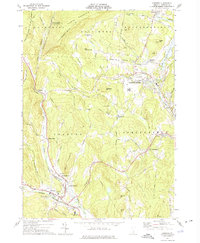
Editions of this 1972 Chester Map
2 editions found
Other maps of this area

1926 · Claremont
USGS Topo · 1:62,500

1927 · Bellows Falls
USGS Topo · 1:48,000

1928 · Ludlow
USGS Topo · 1:48,000

1929 · Claremont
USGS Topo · 1:62,500

1929 · Ludlow
USGS Topo · 1:62,500

1930 · Saxtons River
USGS Topo · 1:48,000

1930 · Bellows Falls
USGS Topo · 1:62,500

1932 · Ludlow
USGS Topo · 1:62,500

1933 · Saxtons River
USGS Topo · 1:62,500

1950 · Glens Falls
USGS Topo · 1:250,000