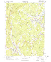
1972 Map of Chester
USGS Topo · Published 1975About this map
The Williams River and the Black River carve through the landscape of Windsor County, defining the settlement patterns seen in this early 1970s survey. Industrial and transport infrastructure is concentrated along the valleys, where the Middle Branch meets the main stem at Chester. The map captures a period of transition, showing the Springfield State Airport (Hartness) and a local Armory alongside older landmarks like Baileys Mills and Chester Depot. To the north, the North Springfield Reservoir dominates the drainage of the Black River near Perkinsville. The area's agricultural and rural character is preserved in numerous named hills such as Hawks Mountain and Litchfield Hill, while small local centers like Spoonerville and the curiously named Old Shincracker reflect the deep-rooted local history of these Vermont townships.
Find a feature on this map
68 named features on this map. Tap any name to fly to it.
Don’t see what you’re looking for? This feature index may not catch every label — zoom into the map to look around manually.
Map Details
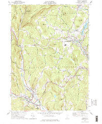
Editions of this 1972 Chester Map
2 editions found
Other maps of this area

1926 · Claremont
USGS Topo · 1:62,500

1927 · Bellows Falls
USGS Topo · 1:48,000

1928 · Ludlow
USGS Topo · 1:48,000

1929 · Claremont
USGS Topo · 1:62,500

1929 · Ludlow
USGS Topo · 1:62,500

1930 · Saxtons River
USGS Topo · 1:48,000

1930 · Bellows Falls
USGS Topo · 1:62,500

1932 · Ludlow
USGS Topo · 1:62,500

1933 · Saxtons River
USGS Topo · 1:62,500

1950 · Glens Falls
USGS Topo · 1:250,000