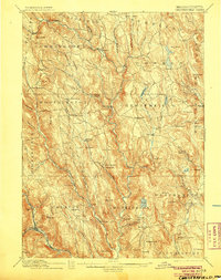
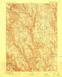
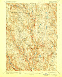
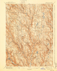
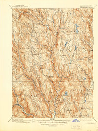
1895 Map of Chesterfield
USGS Topo · Published 1905About this map
The Westfield River and its numerous branches carve through the high terrain of Hampshire County, defining the settlement patterns of the late 19th century. Small hamlets like West Chesterfield and Knightville are situated along these watercourses, illustrating the era's reliance on river power for local industry, such as that found at Bisbee Mill. The landscape is dotted with descriptive family and topographic names, from Ireland Street to the heights of Kidds Lookout and Hanging Mt.
Find a feature on this map
105 named features on this map. Tap any name to fly to it.
Don’t see what you’re looking for? This feature index may not catch every label — zoom into the map to look around manually.
Map Details
Editions of this 1895 Chesterfield Map
8 editions found
Other maps of this area

1885 · Northampton
USGS Topo · 1:62,500

1886 · Greylock
USGS Topo · 1:62,500

1886 · Springfield
USGS Topo · 1:62,500

1886 · Hawley
USGS Topo · 1:62,500

1886 · Chesterfield
USGS Topo · 1:62,500

1886 · Northampton
USGS Topo · 1:62,500

1886 · Becket
USGS Topo · 1:62,500

1887 · Granville
USGS Topo · 1:62,500

1888 · Becket
USGS Topo · 1:62,500

1888 · Sandisfield
USGS Topo · 1:62,500