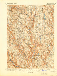
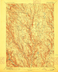
1895 Map of Chesterfield
USGS Topo · Published 1944About this map
The Westfield River and its numerous branches carve through the highlands of western Massachusetts, defining the early industrial and agricultural layout of the late 19th century. Surveyed in 1886, this landscape is a network of small mill settlements and upland farms linked by winding valley roads. Notable clusters include West Chesterfield, South Worthington, and the small community of Littleville. The terrain is marked by distinctive family-named landmarks and peaks like Petticoat Hill and Hanging Mt., while the Boston and Albany rail line skirts the southern edge of the map near Chester.
Find a feature on this map
106 named features on this map. Tap any name to fly to it.
Don’t see what you’re looking for? This feature index may not catch every label — zoom into the map to look around manually.
Map Details
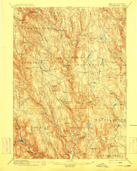
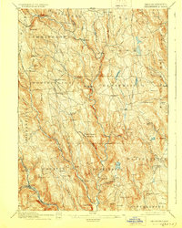
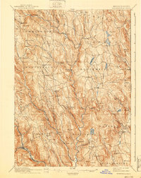
Editions of this 1895 Chesterfield Map
8 editions found
Other maps of this area

1885 · Northampton
USGS Topo · 1:62,500

1886 · Greylock
USGS Topo · 1:62,500

1886 · Springfield
USGS Topo · 1:62,500

1886 · Hawley
USGS Topo · 1:62,500

1886 · Chesterfield
USGS Topo · 1:62,500

1886 · Northampton
USGS Topo · 1:62,500

1886 · Becket
USGS Topo · 1:62,500

1887 · Granville
USGS Topo · 1:62,500

1888 · Becket
USGS Topo · 1:62,500

1888 · Sandisfield
USGS Topo · 1:62,500