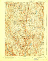
1895 Map of Chesterfield
USGS Topo · Published 1928About this map
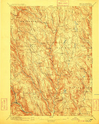
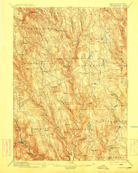
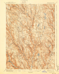
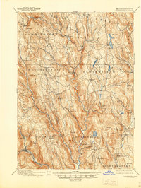
The deep valleys of the Westfield River and its branches dictate the settlement patterns of this Hampshire County highland region during the late nineteenth century. Small hill-town centers like Chester Center, Worthington Center, and Goshen are connected by a web of rural roads that navigate around significant elevations such as Gobble Mt and Petticoat Hill. Industrial activity is evident at Risbeys Mill and along the various watercourses, while the Boston and Albany RR skirts the southwestern corner, providing a vital transportation link for the town of Chester. Unusual local identifiers such as Ireland Street, Shack Street, and Lightningville suggest distinct neighborhood clusters or vanished local landmarks. The landscape is dotted with several water bodies including Norwich Pond and Hammond Pond, which served as local resources before the large-scale topographical changes of the twentieth century.
Find a feature on this map
106 named features on this map. Tap any name to fly to it.
Don’t see what you’re looking for? This feature index may not catch every label — zoom into the map to look around manually.
Map Details
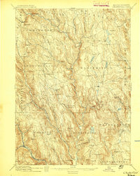
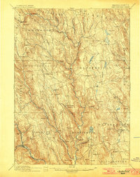
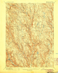
Editions of this 1895 Chesterfield Map
8 editions found
Other maps of this area

1885 · Northampton
USGS Topo · 1:62,500

1886 · Greylock
USGS Topo · 1:62,500

1886 · Springfield
USGS Topo · 1:62,500

1886 · Hawley
USGS Topo · 1:62,500

1886 · Chesterfield
USGS Topo · 1:62,500

1886 · Northampton
USGS Topo · 1:62,500

1886 · Becket
USGS Topo · 1:62,500

1887 · Granville
USGS Topo · 1:62,500

1888 · Becket
USGS Topo · 1:62,500

1888 · Sandisfield
USGS Topo · 1:62,500