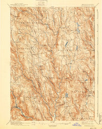
1895 Map of Chesterfield
USGS Topo · Published 1940About this map
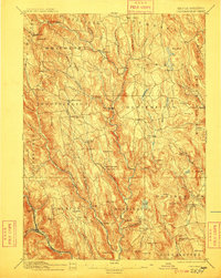
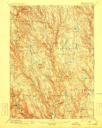
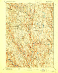
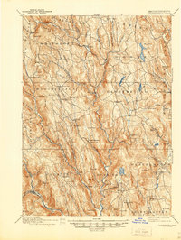
The steep topography of the Berkshire foothills dominates this late 19th-century survey, where the Westfield River and its various branches dictate the settlement patterns. Villages like West Chesterfield and Knightville are situated along these vital waterways, which powered the local economy. At the eastern edge of Chesterfield, the presence of Risbee Mill signifies the industrial reliance on the Dead Branch, while the southwestern corner shows the critical transportation corridor of the Boston and Albany railroad following the river valley near Chester.
Find a feature on this map
101 named features on this map. Tap any name to fly to it.
Don’t see what you’re looking for? This feature index may not catch every label — zoom into the map to look around manually.
Map Details
Editions of this 1895 Chesterfield Map
8 editions found
Other maps of this area

1885 · Northampton
USGS Topo · 1:62,500

1886 · Greylock
USGS Topo · 1:62,500

1886 · Springfield
USGS Topo · 1:62,500

1886 · Hawley
USGS Topo · 1:62,500

1886 · Chesterfield
USGS Topo · 1:62,500

1886 · Northampton
USGS Topo · 1:62,500

1886 · Becket
USGS Topo · 1:62,500

1887 · Granville
USGS Topo · 1:62,500

1888 · Becket
USGS Topo · 1:62,500

1888 · Sandisfield
USGS Topo · 1:62,500