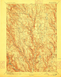
1895 Map of Chesterfield
USGS Topo · Published 1909About this map
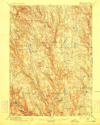
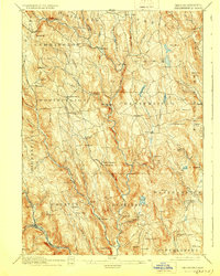
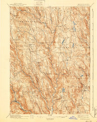
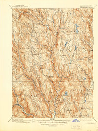
Westfield River and its numerous tributaries, including the Middle Branch of Westfield River and Swift River, carve through the hill country of the eastern Berkshires in this late nineteenth-century survey. The landscape is defined by small, isolated settlements and localized industry, evidenced by the Bisbee Mill and scattered hamlets like Jordansville and Knightsville. The Boston and Albany Railroad skirts the southwestern corner through Chester, while a network of rural roads connects agricultural pockets such as Ireland Street and Shack Street. High points like Mt Pisgah and Kidds Lookout offer a view of a region defined by steep topography and narrow river valleys, where water power and rail access dictated the growth of nineteenth-century Massachusetts towns.
Find a feature on this map
106 named features on this map. Tap any name to fly to it.
Don’t see what you’re looking for? This feature index may not catch every label — zoom into the map to look around manually.
Map Details
Editions of this 1895 Chesterfield Map
8 editions found
Other maps of this area

1885 · Northampton
USGS Topo · 1:62,500

1886 · Greylock
USGS Topo · 1:62,500

1886 · Springfield
USGS Topo · 1:62,500

1886 · Hawley
USGS Topo · 1:62,500

1886 · Chesterfield
USGS Topo · 1:62,500

1886 · Northampton
USGS Topo · 1:62,500

1886 · Becket
USGS Topo · 1:62,500

1887 · Granville
USGS Topo · 1:62,500

1888 · Becket
USGS Topo · 1:62,500

1888 · Sandisfield
USGS Topo · 1:62,500