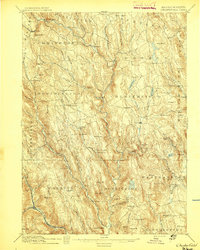
1895 Map of Chesterfield
USGS Topo · Published 1895About this map
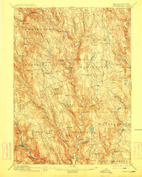
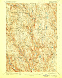
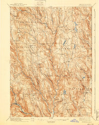
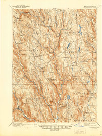
Worthington Corners and Chester Center serve as central hubs in this late-19th-century study of the Hampshire County uplands. The landscape is defined by the steep valleys of the West Branch Westfield River and its numerous tributaries, including Bronson Brook and Wards Stream. The industrial footprint of the era is evident at Risbees Mill and the southern corridor of the Boston and Albany Railroad, which cuts through the southwestern corner near Chester. Smaller hamlets like Ringville, Ireland Street, and Dayville are connected by a network of local roads that navigate around significant elevations such as Bryant Mt. and Petticoat Hill. The concentration of settlements along these watercourses highlights a river-dependent economy prior to the extensive modernization of the 20th century.
Find a feature on this map
101 named features on this map. Tap any name to fly to it.
Don’t see what you’re looking for? This feature index may not catch every label — zoom into the map to look around manually.
Map Details
Editions of this 1895 Chesterfield Map
8 editions found
Other maps of this area

1885 · Northampton
USGS Topo · 1:62,500

1886 · Greylock
USGS Topo · 1:62,500

1886 · Springfield
USGS Topo · 1:62,500

1886 · Hawley
USGS Topo · 1:62,500

1886 · Chesterfield
USGS Topo · 1:62,500

1886 · Northampton
USGS Topo · 1:62,500

1886 · Becket
USGS Topo · 1:62,500

1887 · Granville
USGS Topo · 1:62,500

1888 · Becket
USGS Topo · 1:62,500

1888 · Sandisfield
USGS Topo · 1:62,500