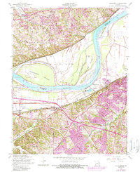
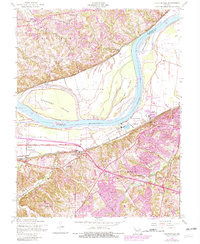
1954 Map of Chesterfield
USGS Topo · Published 1989About this map
Missouri River hydrology dominates this 1954 landscape, where the wide alluvial plains of Greens Bottom and massive landforms like Bonhomme Island and Catfish Island show the historic scale of the river's path. While the southern uplands feature the developing communities of Chesterfield and Bellefontaine, the lowlands are defined by levee systems protecting the St Louis Southwestern rail corridor and Olive Street Road.
Find a feature on this map
36 named features on this map. Tap any name to fly to it.
Don’t see what you’re looking for? This feature index may not catch every label — zoom into the map to look around manually.
Map Details
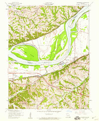
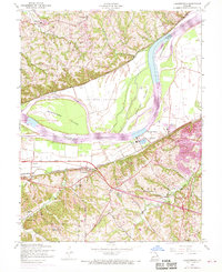
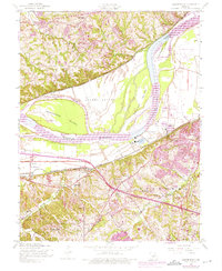
Editions of this 1954 Chesterfield Map
5 editions found
Other maps of this area

1903 · O'Fallon
USGS Topo · 1:125,000

1924 · Robertson
USGS Topo · 1:24,000

1927 · St. Charles
USGS Topo · 1:62,500

1931 · Manchester SE
USGS Topo · 1:24,000

1931 · Brussels
USGS Topo · 1:62,500

1932 · Manchester NE
USGS Topo · 1:24,000

1933 · Creve Coeur
USGS Topo · 1:24,000

1933 · Saint Charles
USGS Topo · 1:62,500

1933 · Kirkwood
USGS Topo · 1:24,000

1937 · Weldon Spring
USGS Topo · 1:24,000