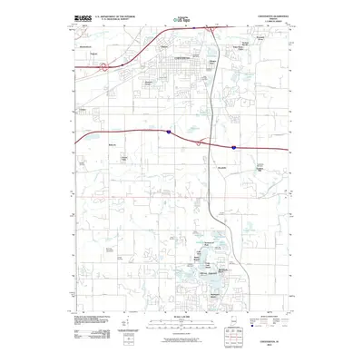
2010 Map of Chesterton
USGS Topo · Published 2010About this map
Chesterton and Porter serve as the primary hubs in this suburban and industrial corridor of northwest Indiana. The landscape is defined by the winding path of Coffee Creek and the East Arm Little Calumet River, which weave through residential developments like Western Acres, Morgan Park, and Brummitt Acres. Local industry and heritage are visible at the Traekabas Mill and Traekabas Mill Dam, while the community’s civic life is centered around the Chesterton Post Office and several longstanding burial grounds, including Chesterton Cemetery and Saint Patricks Cemetery.
Find a feature on this map
82 named features on this map. Tap any name to fly to it.
Don’t see what you’re looking for? This feature index may not catch every label — zoom into the map to look around manually.
Map Details
Editions of this 2010 Chesterton Map
This is the sole edition of this map. No revisions or reprints were ever made.
Other maps of this area

1934 · Porter
USGS Topo · 1:48,000

1940 · Porter
USGS Topo · 1:62,500

1953 · Palmer
USGS Topo · 1:24,000

1953 · Wanatah
USGS Topo · 1:24,000

1953 · Garyton
USGS Topo · 1:24,000

1953 · Westville
USGS Topo · 1:24,000

1953 · Valparaiso
USGS Topo · 1:24,000

1953 · Ogden Dunes
USGS Topo · 1:24,000

1953 · Chesterton
USGS Topo · 1:24,000

1953 · Dune Acres
USGS Topo · 1:24,000