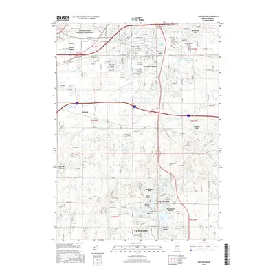
2016 Map of Chesterton
USGS Topo · Published 2016About this map
Indiana Dunes National Lakeshore borders the northern edge of this Porter County landscape, where the E Arm Little Calumet River and Coffee Cr define the drainage of a rapidly developing residential corridor. The 2016 survey documents the complex interface between established towns and newer subdivisions, such as Brummitt Acres and Wake Robin Fields. The area’s agricultural and milling roots are still visible in labels like Tratebas Mill, while the importance of local heritage is marked by several burial grounds including Gossett Cem and Kimball Cem. South of Chesterton, the terrain transitions into a dense network of small lakes and marshes, featuring Canada Lake, Wauhob Lake, and Mink Lake north of Valparaiso. This drainage pattern, managed by systems like the Swanson Lamporte Ditch, illustrates the ongoing effort to balance suburban expansion with the region's natural wetlands.
Find a feature on this map
158 named features on this map. Tap any name to fly to it.
Don’t see what you’re looking for? This feature index may not catch every label — zoom into the map to look around manually.
Map Details
Editions of this 2016 Chesterton Map
This is the sole edition of this map. No revisions or reprints were ever made.
Other maps of this area

1934 · Porter
USGS Topo · 1:48,000

1940 · Porter
USGS Topo · 1:62,500

1953 · Palmer
USGS Topo · 1:24,000

1953 · Wanatah
USGS Topo · 1:24,000

1953 · Garyton
USGS Topo · 1:24,000

1953 · Westville
USGS Topo · 1:24,000

1953 · Valparaiso
USGS Topo · 1:24,000

1953 · Ogden Dunes
USGS Topo · 1:24,000

1953 · Chesterton
USGS Topo · 1:24,000

1953 · Dune Acres
USGS Topo · 1:24,000