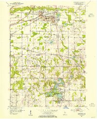
1953 Map of Chesterton
USGS Topo · Published 1955About this map
The Little Calumet River valley anchors this mid-century view of Northern Indiana, where a dense network of transport lines converges at Chesterton and Porter. The landscape is defined by the heavy presence of rail infrastructure, including the New York Central, Chesapeake and Ohio, and Eastern lines, alongside the arterial routes of the Wabash and Baltimore and Ohio. This convergence supported a regional economy of mills and light industry, notably at Tratabas Mill on Salt Creek.
Find a feature on this map
78 named features on this map. Tap any name to fly to it.
Don’t see what you’re looking for? This feature index may not catch every label — zoom into the map to look around manually.
Map Details
Editions of this 1953 Chesterton Map
This is the sole edition of this map. No revisions or reprints were ever made.
Other maps of this area
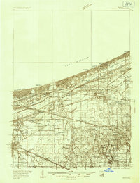
1934 · Porter
USGS Topo · 1:48,000
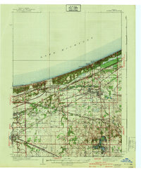
1940 · Porter
USGS Topo · 1:62,500
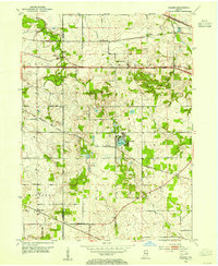
1953 · Palmer
USGS Topo · 1:24,000
1953 · Wanatah
USGS Topo · 1:24,000
1953 · Garyton
USGS Topo · 1:24,000
1953 · Westville
USGS Topo · 1:24,000
1953 · Valparaiso
USGS Topo · 1:24,000
1953 · Ogden Dunes
USGS Topo · 1:24,000
1953 · Dune Acres
USGS Topo · 1:24,000
1953 · Michigan City West
USGS Topo · 1:24,000