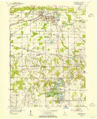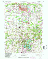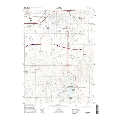
1991 Map of Chesterton
USGS Topo · Published 1992About this map
Chesterton serves as the hub of this Northwest Indiana corridor, situated just south of the Indiana Dunes National Lakeshore. The landscape is defined by its complex glacial hydrology and transport history, featuring a dense network of kettle lakes such as Wauhob Lake, Spectacle Lake, and Flint Lake. The historic Old Indian Treaty Boundary slices diagonally across the northern townships, a lasting mark on the land's survey history. Heavy rail infrastructure, including the Conrail and Chicago South Shore and South Bend Railroad lines, supports the industrial and residential growth of neighboring Burns Harbor. Local social centers like St Patricks Church and the Augsburg Cemetery and Church provide clear points of reference for genealogists. The terrain transitions from the dunes and the East Arm Little Calumet River in the north to the moraine landscapes of the Morain Nature Preserve further south.
Find a feature on this map
92 named features on this map. Tap any name to fly to it.
Don’t see what you’re looking for? This feature index may not catch every label — zoom into the map to look around manually.
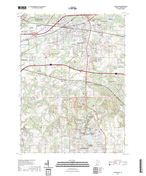
Map Details
Editions of this 1991 Chesterton Map
This is the sole edition of this map. No revisions or reprints were ever made.
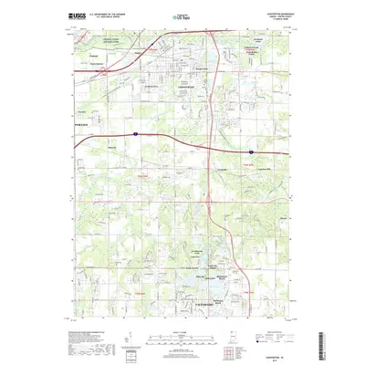
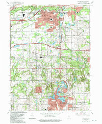
Historical Maps of Portage Through Time
8 maps found