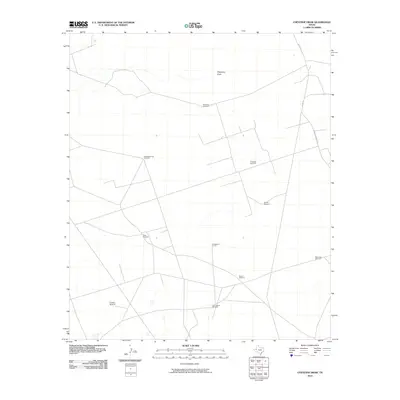
2010 Map of Cheyenne Draw
USGS Topo · Published 2010About this map
Cheyenne Draw winds through this arid portion of Winkler County, carving a seasonal path across a landscape defined by ranching and energy extraction. In the early 21st century, this corner of the Permian Basin maintains a sparse network of service roads and rural infrastructure, punctuated by numerous named water points essential for livestock. The prevalence of these features, such as Magnolia Windmill and SeepingSprings Windmill, suggests the ongoing importance of groundwater in an area with few permanent surface streams. Industrial activity is centered on the Crittendon Gas Field, while local thoroughfares like Frying Pan Ranch Rd and Co Rd 101 provide the primary access to these remote operations and homesteads. The distribution of sites like Sixes Windmill and East Lehman Windmill reveals a pattern of land use where isolated developments are tied to specific family names and ranching legacy.
Find a feature on this map
14 named features on this map. Tap any name to fly to it.
Don’t see what you’re looking for? This feature index may not catch every label — zoom into the map to look around manually.
Map Details
Editions of this 2010 Cheyenne Draw Map
This is the sole edition of this map. No revisions or reprints were ever made.
Other maps of this area

1954 · Hobbs
USGS Topo · 1:250,000

1954 · Pecos
USGS Topo · 1:250,000

1957 · Pecos
USGS Topo · 1:250,000

1958 · Hobbs
USGS Topo · 1:250,000

1969 · Cheyenne Draw SW
USGS Topo · 1:24,000

1969 · Jal
USGS Topo · 1:24,000

1970 · Brunson Ranch
USGS Topo · 1:24,000

1970 · Cheyenne Draw
USGS Topo · 1:24,000

1970 · Wink North
USGS Topo · 1:24,000

1970 · Cheyenne Draw SE
USGS Topo · 1:24,000