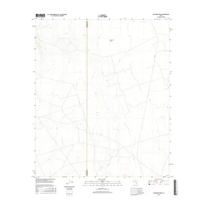
2016 Map of Cheyenne Draw
USGS Topo · Published 2016About this map
The Loving Co Winkler Co boundary line bisects this arid West Texas landscape, where the ephemeral waters of Cheyenne Draw cut through the terrain. This 2016 survey illustrates a region defined by its isolation and the practical infrastructure of the Permian Basin's energy landscape. While the surface appears largely undisturbed, a network of straight-line tracks and service roads crisscrosses the topography, including Co Rd 101 and Co Rd 104 in the eastern and southern sectors. The map provides a precise record of the subtle elevation changes and drainage patterns that characterize this portion of the Chihuahuan Desert before the intensification of modern industrial activity.
Find a feature on this map
4 named features on this map. Tap any name to fly to it.
Don’t see what you’re looking for? This feature index may not catch every label — zoom into the map to look around manually.
Map Details
Editions of this 2016 Cheyenne Draw Map
This is the sole edition of this map. No revisions or reprints were ever made.
Other maps of this area

1954 · Hobbs
USGS Topo · 1:250,000

1954 · Pecos
USGS Topo · 1:250,000

1957 · Pecos
USGS Topo · 1:250,000

1958 · Hobbs
USGS Topo · 1:250,000

1969 · Cheyenne Draw SW
USGS Topo · 1:24,000

1969 · Jal
USGS Topo · 1:24,000

1970 · Brunson Ranch
USGS Topo · 1:24,000

1970 · Cheyenne Draw
USGS Topo · 1:24,000

1970 · Wink North
USGS Topo · 1:24,000

1970 · Cheyenne Draw SE
USGS Topo · 1:24,000