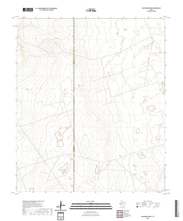
2022 Map of Cheyenne Draw
USGS Topo · Published 2022About this map
Cheyenne Draw meanders across this West Texas landscape, defining the local drainage patterns along the boundary of Loving and Winkler Counties. This high-plains terrain is largely defined by its isolation and the straight-line geometry of the local road network, including Co Rd 101 and Co Rd 104. The map illustrates the sparsely populated character of the Permian Basin region in the early twenty-first century, where the primary landmarks are limited to natural watercourses and the infrastructure of the county line. The subtle elevation changes around the draw provide a contrast to the surrounding flatlands, reflecting the specialized geography of this semi-arid borderland.
Find a feature on this map
4 named features on this map. Tap any name to fly to it.
Don’t see what you’re looking for? This feature index may not catch every label — zoom into the map to look around manually.
Map Details
Editions of this 2022 Cheyenne Draw Map
This is the sole edition of this map. No revisions or reprints were ever made.
Other maps of this area

1954 · Hobbs
USGS Topo · 1:250,000

1954 · Pecos
USGS Topo · 1:250,000

1957 · Pecos
USGS Topo · 1:250,000

1958 · Hobbs
USGS Topo · 1:250,000

1969 · Cheyenne Draw SW
USGS Topo · 1:24,000

1969 · Jal
USGS Topo · 1:24,000

1970 · Brunson Ranch
USGS Topo · 1:24,000

1970 · Cheyenne Draw
USGS Topo · 1:24,000

1970 · Wink North
USGS Topo · 1:24,000

1970 · Cheyenne Draw SE
USGS Topo · 1:24,000