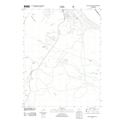
2011 Map of Cheyenne Mountain
USGS Topo · Published 2011About this map
Fort Carson and the military infrastructure surrounding Butts Army Air Field dominate the eastern landscape of this El Paso County region. The terrain transition is sharp, moving from the developed cantonment areas with roads like Specker Ave and Titus Blvd into the steep rises of Cheyenne Mountain. Local industry and land use are etched into the canyons and valleys, featuring the South Cheyenne Mine and Menzer Quarry, while the area's rural history is preserved through named properties like the J L Ranch and Hitch Rack Ranch.
Find a feature on this map
38 named features on this map. Tap any name to fly to it.
Don’t see what you’re looking for? This feature index may not catch every label — zoom into the map to look around manually.
Map Details
Editions of this 2011 Cheyenne Mountain Map
This is the sole edition of this map. No revisions or reprints were ever made.
Other maps of this area

1893 · Colorado Springs
USGS Topo · 1:125,000

1909 · Colorado Springs
USGS Topo · 1:125,000

1942 · Colorado Springs
USGS Topo · 1:125,000

1948 · Mount Big Chief
USGS Topo · 1:24,000

1948 · Mount Pittsburg
USGS Topo · 1:24,000

1948 · Timber Mountain
USGS Topo · 1:24,000

1948 · Manitou Springs
USGS Topo · 1:24,000

1948 · Colorado Springs
USGS Topo · 1:62,500

1948 · Fountain
USGS Topo · 1:24,000

1948 · Colorado Springs
USGS Topo · 1:24,000