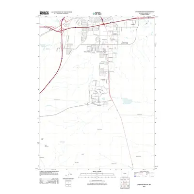
2012 Map of Cheyenne South
USGS Topo · Published 2012About this map
South Greeley and Orchard Valley anchor the northern portion of this landscape, showcasing the residential and commercial layout south of the state capital. The area transition from dense suburban street grids into a series of livestock camps and corrals, reflecting the region's enduring ranching heritage. Educational and recreational infrastructure is prominent, with the extensive grounds of Laramie County Community College and the Intermountain Speedway serving as local landmarks.
Find a feature on this map
104 named features on this map. Tap any name to fly to it.
Don’t see what you’re looking for? This feature index may not catch every label — zoom into the map to look around manually.
Map Details
Editions of this 2012 Cheyenne South Map
This is the sole edition of this map. No revisions or reprints were ever made.
Other maps of this area

1908 · Eaton
USGS Topo · 1:125,000

1910 · Eaton
USGS Topo · 1:125,000

1911 · Cheyenne
USGS Topo · 1:125,000

1914 · Cheyenne
USGS Topo · 1:125,000

1950 · Cheyenne
USGS Topo · 1:62,500

1954 · Cheyenne
USGS Topo · 1:250,000

1954 · Greeley
USGS Topo · 1:250,000

1957 · Greeley
USGS Topo · 1:250,000

1958 · Cheyenne
USGS Topo · 1:250,000

1958 · Greeley
USGS Topo · 1:250,000