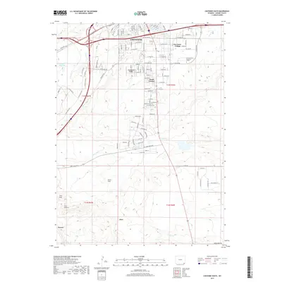
2017 Map of Cheyenne South
USGS Topo · Published 2017About this map
Cheyenne serves as the focal point for this 2017 survey, showing the city's southward expansion into Laramie County. The landscape transitions from the urban core and major educational facilities like Laramie County Community College into suburban developments including Orchard Valley, Fox Farm-College, and South Greeley. This area is defined by its strategic transportation corridors and the branching hydrology of the High Plains, with Crow Cr and its tributaries such as Little Crow Cr and Simpson Cr carving through the terrain.
Find a feature on this map
60 named features on this map. Tap any name to fly to it.
Don’t see what you’re looking for? This feature index may not catch every label — zoom into the map to look around manually.
Map Details
Editions of this 2017 Cheyenne South Map
This is the sole edition of this map. No revisions or reprints were ever made.
Other maps of this area

1908 · Eaton
USGS Topo · 1:125,000

1910 · Eaton
USGS Topo · 1:125,000

1911 · Cheyenne
USGS Topo · 1:125,000

1914 · Cheyenne
USGS Topo · 1:125,000

1950 · Cheyenne
USGS Topo · 1:62,500

1954 · Cheyenne
USGS Topo · 1:250,000

1954 · Greeley
USGS Topo · 1:250,000

1957 · Greeley
USGS Topo · 1:250,000

1958 · Cheyenne
USGS Topo · 1:250,000

1958 · Greeley
USGS Topo · 1:250,000