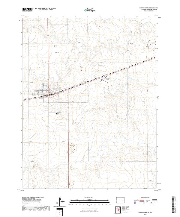
2022 Map of Cheyenne Wells
USGS Topo · Published 2022About this map
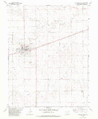
Cheyenne Wells serves as the focal point of this Eastern Colorado landscape, situated along the crossroads of Highway 40 and Highway 385. The settlement is anchored by the Cheyenne County Courthouse, which highlights the town's role as a regional administrative center. The surrounding High Plains terrain is defined by a series of intermittent watercourses, including the Smoky Hill River to the north and the branching reaches of Ladder Creek, which drain toward the east. This 2022 survey illustrates the grid-style development of the town, featuring residential streets like W 4th St N and N 1st St W. To the south, the Fairview Cem provides a point of interest for genealogists, while the Windy Plains Airport to the east reflects the area's continued reliance on regional aviation in an expansive agricultural environment.
Find a feature on this map
44 named features on this map. Tap any name to fly to it.
Don’t see what you’re looking for? This feature index may not catch every label — zoom into the map to look around manually.
Map Details
Editions of this 2022 Cheyenne Wells Map
This is the sole edition of this map. No revisions or reprints were ever made.
Other maps of this area

1892 · Cheyenne Wells
USGS Topo · 1:125,000

1894 · Cheyenne Wells
USGS Topo · 1:125,000

1954 · Lamar
USGS Topo · 1:250,000

1958 · Lamar
USGS Topo · 1:250,000

1981 · Cheyenne Wells
USGS Topo · 1:100,000
1982 · Cheyenne Wells NW
USGS Topo · 1:24,000
1982 · Arapahoe NW
USGS Topo · 1:24,000

1982 · Cheyenne Wells SW
USGS Topo · 1:24,000
1982 · Cheyenne Wells NE
USGS Topo · 1:24,000
1982 · Cheyenne Wells
USGS Topo · 1:24,000