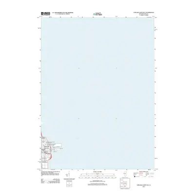
2012 Map of Chicago Loop OE E
USGS Topo · Published 2012About this map
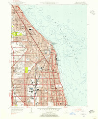
Streeterville and the iconic lakefront of downtown Chicago dominate the southwestern corner of this survey, which primarily documents the vast waters of Lake Michigan. The map details a dense concentration of academic and civic landmarks, including the Northwestern University Medical School, the University of Illinois, and the National College of Education Urban Campus. This specific 2012 snapshot captures the industrial-to-recreational transition of the waterfront, showing the structural layout of Navy Pier and the adjacent North Pier Terminal. Within the urban grid, small historical markers like the Chicago Water Tower and Pioneer Court stand alongside modern developments like Cityfront Center and Cityfront Place. The presence of labels such as Shantytown and Canal Trustees provides a grounding in the administrative and social history of this valuable stretch of Lake Michigan shoreline.
Find a feature on this map
20 named features on this map. Tap any name to fly to it.
Don’t see what you’re looking for? This feature index may not catch every label — zoom into the map to look around manually.
Map Details
Editions of this 2012 Chicago Loop OE E Map
This is the sole edition of this map. No revisions or reprints were ever made.
Other maps of this area

1889 · Chicago
USGS Topo · 1:62,500

1891 · Chicago
USGS Topo · 1:62,500

1899 · Evanston
USGS Topo · 1:62,500

1900 · Chicago
USGS Topo · 1:62,500

1901 · Chicago
USGS Topo · 1:62,500

1928 · Evanston
USGS Topo · 1:24,000
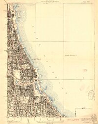
1929 · Jackson Park
USGS Topo · 1:24,000
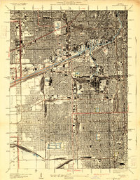
1929 · Englewood
USGS Topo · 1:24,000
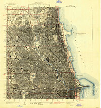
1929 · Chicago Loop
USGS Topo · 1:24,000
1953 · Evanston
USGS Topo · 1:24,000