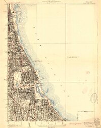
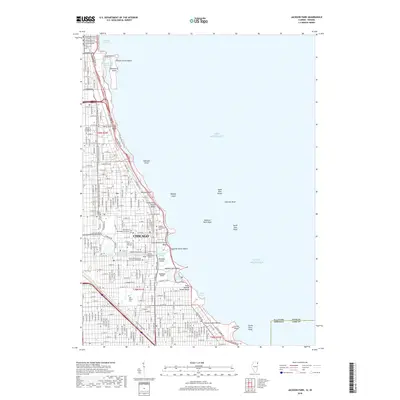
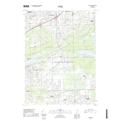
1929 Map of Jackson Park
USGS Topo · Published 1929About this map
Lake Michigan defines the eastern edge of this 1920s urban landscape, where the dense grid of Chicago meets a series of sprawling lakeside commons. The lakefront exhibits significant civil engineering, from the Chicago Harbor down to the South Shore Country Club. Inland, the city's commitment to public spaces is evident in the grand connection between Washington Park and Jackson Park via the Midway Plaisance.
Find a feature on this map
36 named features on this map. Tap any name to fly to it.
Don’t see what you’re looking for? This feature index may not catch every label — zoom into the map to look around manually.
Map Details
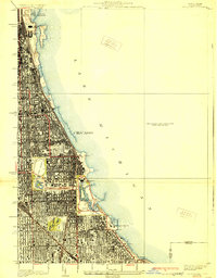
Editions of this 1929 Jackson Park Map
3 editions found
Historical Maps of Chicago Through Time
60 maps found

1892 Calumet
Cook County, IL

1893 Calumet
Cook County, IL

1900 Calumet
Cook County, IL

1901 Calumet
Cook County, IL

1928 Sag Bridge
Cook County, IL

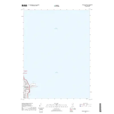
1929 Calumet Lake
Cook County, IL

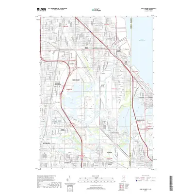
1929 Chicago Loop
Cook County, IL

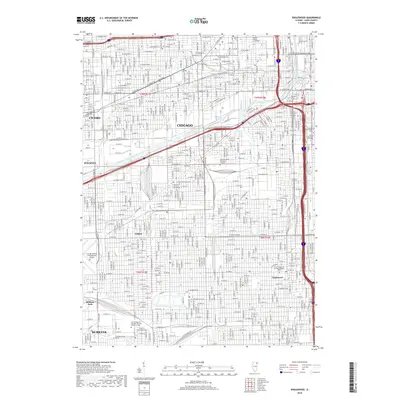
1929 Englewood
Cook County, IL

1929 Jackson Park
Cook County, IL

1953 Calumet Lake
Cook County, IL

1953 Chicago Loop
Cook County, IL

1953 Englewood
Cook County, IL

1953 Jackson Park
Cook County, IL

1953 Sag Bridge
Cook County, IL

1960 Lake Calumet
Cook County, IL

1963 Chicago Loop
Cook County, IL

1963 Englewood
Cook County, IL

1963 Jackson Park
Cook County, IL

1963 Sag Bridge
Cook County, IL

1965 Lake Calumet
Cook County, IL

1991 Lake Calumet
Cook County, IL

1993 Chicago Loop
Cook County, IL

1993 Englewood
Cook County, IL

1993 Jackson Park
Cook County, IL

1993 Sag Bridge
Cook County, IL

1997 Chicago Loop
Cook County, IL

1997 Englewood
Cook County, IL

1997 Lake Calumet
Cook County, IL

1997 Sag Bridge
Cook County, IL

1998 Jackson Park
Cook County, IL

2012 Chicago Loop
Cook County, IL
2012 Chicago Loop OE E
Cook County, IL

2012 Englewood
Cook County, IL
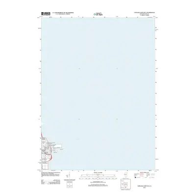
2012 Jackson Park
Cook County, IL

2012 Lake Calumet
Cook County, IL

2012 Sag Bridge
Cook County, IL

2015 Chicago Loop
Cook County, IL
2015 Chicago Loop OE E
Cook County, IL

2015 Englewood
Cook County, IL
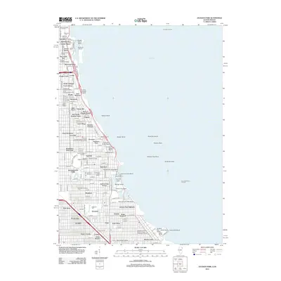
2015 Jackson Park
Cook County, IL
2015 Lake Calumet
Cook County, IL
2015 Sag Bridge
Cook County, IL

2018 Chicago Loop
Cook County, IL
2018 Chicago Loop OE E
Cook County, IL
2018 Englewood
Cook County, IL
2018 Jackson Park
Cook County, IL
2018 Lake Calumet
Cook County, IL
2018 Sag Bridge
Cook County, IL

2021 Chicago Loop
Cook County, IL

2021 Chicago Loop OE E
Cook County, IL

2021 Englewood
Cook County, IL

2021 Jackson Park
Cook County, IL

2021 Lake Calumet
Cook County, IL
2021 Sag Bridge
Cook County, IL

2024 Chicago Loop
Cook County, IL

2024 Chicago Loop OE E
Cook County, IL

2024 Englewood
Cook County, IL

2024 Jackson Park
Cook County, IL

2024 Lake Calumet
Cook County, IL

2024 Sag Bridge
Cook County, IL