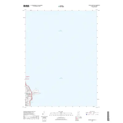
2018 Map of Chicago Loop OE E
USGS Topo · Published 2018About this map
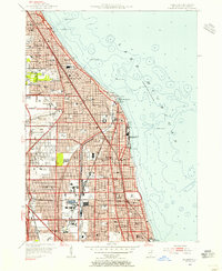
Lake Michigan dominates this coastal perspective, where the northeastern edge of Chicago meets the waterfront. This 2018 survey focuses on the maritime infrastructure and educational institutions situated at the heart of the city’s lakefront. The map documents the complex water geometry of the Chicago Harbor and Outer Harbor, including the industrial history hinted at by the Ogden Slip near the mouth of the Chicago River. Inland, the urban fabric is defined by a cluster of higher education centers such as Roosevelt Univ, National Louis Univ, and the American Acad of Art. The Chicago Lakefront Trail provides a continuous thread along the shoreline, marking the intersection of public recreation and dense urban development near major thoroughfares like E Grand Ave and E Chicago Ave.
Find a feature on this map
23 named features on this map. Tap any name to fly to it.
Don’t see what you’re looking for? This feature index may not catch every label — zoom into the map to look around manually.
Map Details
Editions of this 2018 Chicago Loop OE E Map
This is the sole edition of this map. No revisions or reprints were ever made.
Other maps of this area

1889 · Chicago
USGS Topo · 1:62,500

1891 · Chicago
USGS Topo · 1:62,500

1899 · Evanston
USGS Topo · 1:62,500

1900 · Chicago
USGS Topo · 1:62,500

1901 · Chicago
USGS Topo · 1:62,500

1928 · Evanston
USGS Topo · 1:24,000
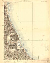
1929 · Jackson Park
USGS Topo · 1:24,000
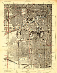
1929 · Englewood
USGS Topo · 1:24,000
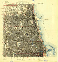
1929 · Chicago Loop
USGS Topo · 1:24,000
1953 · Evanston
USGS Topo · 1:24,000