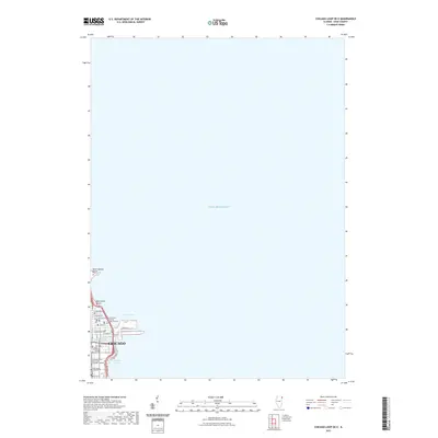
2021 Map of Chicago Loop OE E
USGS Topo · Published 2021About this map
Lake Michigan dominates this eastern orientation of the downtown Chicago waterfront, where the city’s dense urban grid meets the vast open water. The map provides a focused look at the highly developed shoreline and maritime infrastructure including the Outer Harbor, Chicago Harbor, and the industrial heritage seen in the Ogden Slip near the mouth of the Chicago River. This 2021 survey details the prominent recreational and educational institutions that define the lakefront, such as the Northwestern University Chicago Campus and the National Louis University Chicago Campus. Urban landmarks like The Spertus Institute and the Argosy University - Chicago are situated just blocks from the leisure spaces of North Avenue Beach and Oak Street Beach, all connected by the Chicago Lakefront Trail and the major artery of Lake Shore Drive.
Find a feature on this map
23 named features on this map. Tap any name to fly to it.
Don’t see what you’re looking for? This feature index may not catch every label — zoom into the map to look around manually.
Map Details
Editions of this 2021 Chicago Loop OE E Map
This is the sole edition of this map. No revisions or reprints were ever made.
Other maps of this area

1889 · Chicago
USGS Topo · 1:62,500

1891 · Chicago
USGS Topo · 1:62,500

1899 · Evanston
USGS Topo · 1:62,500

1900 · Chicago
USGS Topo · 1:62,500

1901 · Chicago
USGS Topo · 1:62,500

1928 · Evanston
USGS Topo · 1:24,000
1929 · Jackson Park
USGS Topo · 1:24,000
1929 · Englewood
USGS Topo · 1:24,000
1929 · Chicago Loop
USGS Topo · 1:24,000
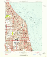
1953 · Evanston
USGS Topo · 1:24,000