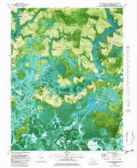
1982 Map of Chicamacomico River
USGS Topo · Published 1983About this map
The Chicamacomico River and Transquaking River dominate this low-lying landscape in Dorchester County, Maryland. Based on late 1970s photography and surveys, the map reveals a network of landings and small settlements where the land meets the marsh. Notable sites include Brick House Landing and Cedar Landing, alongside the small communities of Bestpitch and Cokeland. The geography is characterized by numerous "necks" or peninsulas of land, such as Griffith Neck, Buzzard Neck, and Steels Neck, that reach into the surrounding wetlands.
Find a feature on this map
52 named features on this map. Tap any name to fly to it.
Don’t see what you’re looking for? This feature index may not catch every label — zoom into the map to look around manually.
Map Details
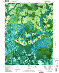
Editions of this 1982 Chicamacomico River Map
2 editions found
Other maps of this area

1898 · Choptank
USGS Topo · 1:125,000

1898 · St. Marys
USGS Topo · 1:125,000

1903 · Nanticoke
USGS Topo · 1:62,500

1904 · Oxford
USGS Topo · 1:62,500

1905 · Crapo
USGS Topo · 1:62,500

1905 · Hurlock
USGS Topo · 1:62,500

1906 · St. Marys
USGS Topo · 1:125,000

1908 · Choptank
USGS Topo · 1:125,000

1942 · Wetipquin
USGS Topo · 1:24,000
1942 · Wingate
USGS Topo · 1:24,000