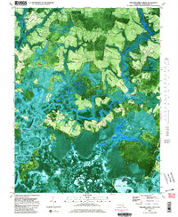
1982 Map of Chicamacomico River
USGS Topo · Published 1983About this map
Guinea Marsh and the surrounding wetlands of Dorchester County define this orthophotomap, which uses aerial photography to detail the intricate hydrological network of the Maryland Eastern Shore. The landscape is a mosaic of tidal waterways and timbered ridges, where the Chicamacomico River and Transquaking River wind through expansive marshes such as Thorofare Marsh. Human presence is concentrated on higher ground or along the water's edge, marked by historic points like Eagle Hall and river access sites including Cedar Landing and Brick House Landing.
Find a feature on this map
51 named features on this map. Tap any name to fly to it.
Don’t see what you’re looking for? This feature index may not catch every label — zoom into the map to look around manually.
Map Details
Editions of this 1982 Chicamacomico River Map
2 editions found
Other maps of this area

1898 · Choptank
USGS Topo · 1:125,000

1898 · St. Marys
USGS Topo · 1:125,000

1903 · Nanticoke
USGS Topo · 1:62,500

1904 · Oxford
USGS Topo · 1:62,500

1905 · Crapo
USGS Topo · 1:62,500

1905 · Hurlock
USGS Topo · 1:62,500

1906 · St. Marys
USGS Topo · 1:125,000

1908 · Choptank
USGS Topo · 1:125,000

1942 · Wetipquin
USGS Topo · 1:24,000
1942 · Wingate
USGS Topo · 1:24,000