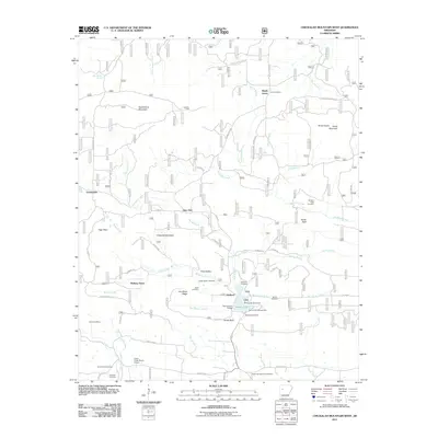
2011 Map of Chickalah Mountain West
USGS Topo · Published 2011About this map
Huckleberry Mountain and Chickalah Mountain dominate this region of Yell County, where small agricultural and timber-oriented settlements are connected by a network of forest and county roads. The landscape is defined by its numerous family-named landmarks and historical burial grounds, such as the Sides Family Cemetery, Utley Cemetery, and Harkey's Valley Cemetery. These sites suggest a deep-rooted local genealogy centered around the valleys of Chickalah Creek and Spring Creek.
Find a feature on this map
71 named features on this map. Tap any name to fly to it.
Don’t see what you’re looking for? This feature index may not catch every label — zoom into the map to look around manually.
Map Details
Editions of this 2011 Chickalah Mountain West Map
This is the sole edition of this map. No revisions or reprints were ever made.
Other maps of this area

1879 · Mountain Home
USGS Topo · 1:62,500

1887 · Magazine Mountain #1
USGS Topo · 1:62,500

1887 · Magazine Mountain #4
USGS Topo · 1:62,500

1887 · Magazine Mountain
USGS Topo · 1:62,500

1888 · Dardanelle #2
USGS Topo · 1:62,500

1888 · Dardanelle #3
USGS Topo · 1:62,500

1890 · Magazine Mountain
USGS Topo · 1:125,000

1890 · Dardanelle
USGS Topo · 1:125,000

1956 · Russellville
USGS Topo · 1:250,000
1961 · Scranton
USGS Topo · 1:24,000